
NEW: More Snow Expected in RI This Weekend
Friday, February 14, 2014
This no-quit winter just keeps chugging along, grinding out storm after storm and cold air blasts with production line regularity. There won't be much down time after yesterday's mess. Another weak low pressure center now over the Mid-Mississippi Valley will head toward the Mid-Atlantic coast by tomorrow morning. It then will undergo rapid intensification and head northeastward passing southeast of Nantucket tomorrow night as it heads into the open Atlantic.

What does it mean for us? Well, for starters, more snow with perhaps a bit of rain at the start especially over the Cape and Islands but it should be a snowstorm for about all of us with heaviest amounts form Rhode Island into Eastern Massachusetts and perhaps the Cape. Central and Western new England should see less snow from this storm.
It's likely to start snowing sometime tomorrow afternoon, become heaviest at night and wind down by early Sunday. Earliest estimates are for 6 inches or more from Rhode Island eastward through Massachusetts and for less than 6 inches from Rhode Island westward but that could change once I see just where the storm center forms early tomorrow.
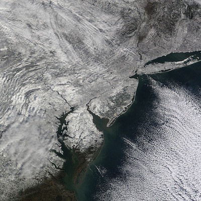
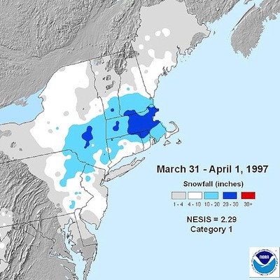
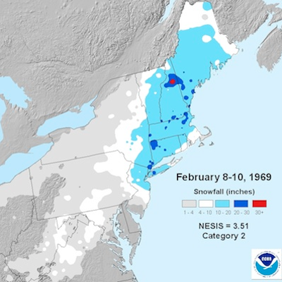
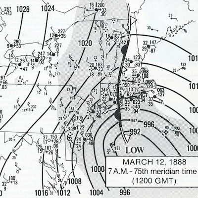
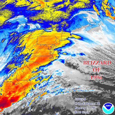
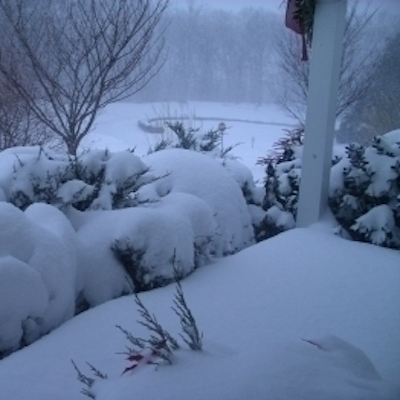
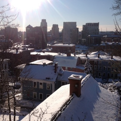
GET THE LATEST BREAKING NEWS HERE -- SIGN UP FOR GOLOCAL FREE DAILY EBLASTRelated Slideshow: Top 10 Blizzards in RI History

.png)


_80_80_c1.png)


Related Articles
- NEW: Winter Storm Warning In Effect Saturday Into Sunday
- RIPTA WInter Service Changes Go Into Effect January 18th
- NEW: Winter Storm Could Bring 12+ Inches, John Ghiorse Updates
- NEW: WInter Weather Advisory in Effect Sunday Night into Monday
- Ghiorse: Winter Storm Thursday Midday Update
- NEW: Winter Storm Warning Issued For Tuesday
- UPDATE: Winter Storm Closings, Cancellations and Parking Bans in RI
- Getting Out: 10 Fun Winter Activities in RI
- NEW: Winter Storm Warning Issued, John Ghiorse Updates
- UPDATE: Midday Thursday- Winter Storm Intensifying in Rhode Island
- Landscape Now: Decorating Window Boxes and Planters for Winter
- NEW: Winter Storm Warning Issued
- Winter Constellations Over Rhode Island and How to Find Them
- Landscape Now: Winter Prep for Your Lawn, Water Features and Ponds
- NEW: Winter Weather on the Way to Welcome in New Year
- Urban Gardener: Composting For Winter
- Moms Can-Do’s: Winterfest + More
- NEW: More Winter Weather May Impact Monday Morning Commute
- Winter Storm Watch: Up to 12 Inches + High Winds Expected Thurs.
- NEW: More Winter Weather on the Way
- NEW: John Ghiorse’s Winter Weather Update
